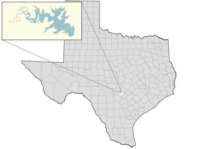
Canyon Lake: 96.2% full as of 2026-11-05
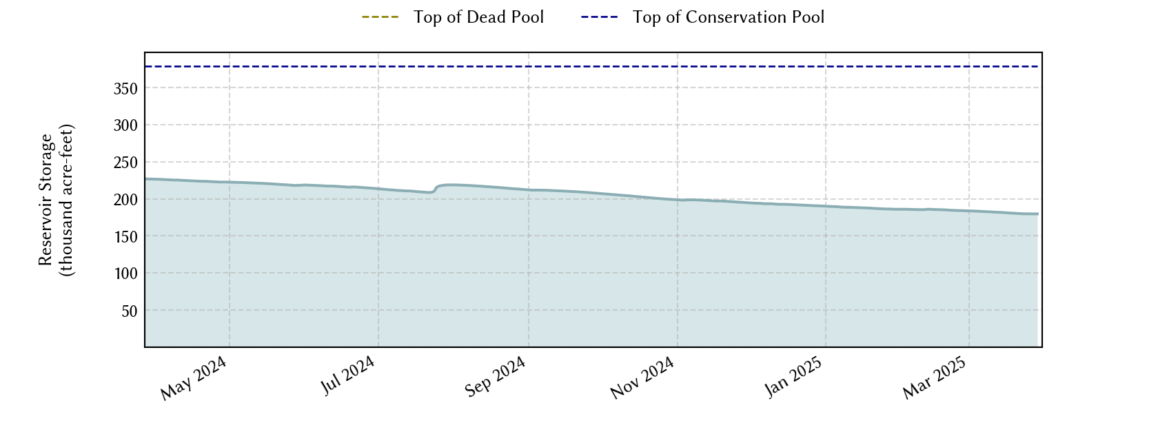
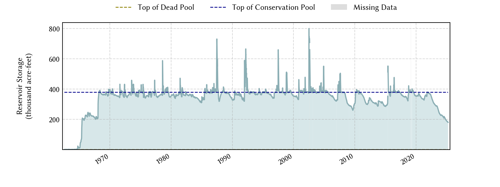
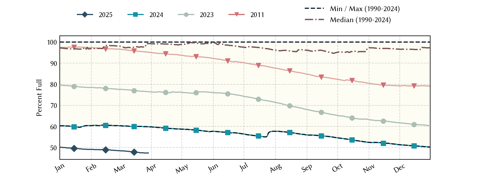
Historical Data
| Date | Percent Full |
Mean Water Level (ft) |
Reservoir Storage (acre-ft) |
Conservation Storage (acre-ft) |
Conservation Capacity (acre-ft) |
Surface Area (acres) |
|
|---|---|---|---|---|---|---|---|
| Today | 2026-11-05 | 96.2 | 907.25 | 364,615 | 364,544 | 378,781 | 8,036 |
| Yesterday | 2026-11-04 | 96.3 | 907.27 | 364,775 | 364,704 | 378,781 | 8,038 |
| 2 days ago | 2026-11-03 | 96.3 | 907.26 | 364,695 | 364,624 | 378,781 | 8,037 |
| 1 week ago | 2026-10-29 | 96.2 | 907.21 | 364,293 | 364,222 | 378,781 | 8,031 |
| 1 month ago | 2026-10-05 | 97.8 | 907.96 | 370,349 | 370,278 | 378,781 | 8,117 |
| 3 months ago | 2026-08-05 | 100.0 | 910.18 | 388,652 | 378,781 | 378,781 | - n.a. - |
| 6 months ago | 2026-05-05 | 59.0 | 886.77 | 223,539 | 223,468 | 378,781 | 5,824 |
| 1 year ago | 2025-11-05 | 64.2 | 890.04 | 243,118 | 243,047 | 378,781 | 6,152 |
*
Percent Full is based on Conservation Storage and Conservation Capacity and doesn't account for storage in flood pool.
**
Values above, including today's are averaged conditions. For near real-time instantaneous water level, see table below or the interactive map viewer.
Most Recent Instantaneous Water Level
| Date/time |
Water Level (ft) |
Conservation Pool Elevation (ft) |
Height Above Conservation Pool (ft) |
|
|---|---|---|---|---|
| Most recent | 2026-11-05 17:15 | 907.24 | 909.00 | -1.76 |
| 1 hour prior | 2026-11-05 16:15 | 907.24 | 909.00 | -1.76 |
| 2 hours prior | 2026-11-05 15:15 | 907.24 | 909.00 | -1.76 |
| 6 hours prior | 2026-11-05 11:15 | 907.25 | 909.00 | -1.75 |
| 12 hours prior | 2026-11-05 05:15 | 907.25 | 909.00 | -1.75 |
| 24 hours prior | 2026-11-04 17:15 | 907.27 | 909.00 | -1.73 |
| 48 hours prior | 2026-11-03 17:15 | 907.27 | 909.00 | -1.73 |
*
Data is provisional and subject to revision.
Additional Information
| Impoundment date | 1964-01-01 |
| Vertical datum | NGVD29 |
| Dead pool elevation | 775.00 ft above NGVD29 |
| Service spillway crest elevation | 943.00 ft above NGVD29 |
| Emergency spillway crest elevation | 943.00 ft above NGVD29 |
| Flood pool elevation | 943.00 ft above NGVD29 |
| Maximum design elevation | 969.10 ft above NGVD29 |
| Top of dam elevation | 974.00 ft above NGVD29 |
| Conservation pool elevation | 909.00 ft above NGVD29 |
| Data download (CSV) | period of record, last one year, last 30 days |
Elevation-Area-Capacity Curves
2000-11-01 (source: TWDB)
: GIS Data
|
|
| Data Source | USGS:08167700 |
| USGS Monitoring Location | USGS:08167700 |
Lake Location